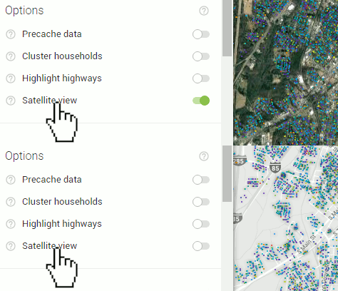
By default, the map will load in grey-scale each browsing session. This is to give more color contrast when applying layers such as 'Households' to your map. You may want to load a satellite view instead to give your map a different look. To do this, simply click 'Satellite view' or the toggle to the right of it in the 'Options' section of the control panel. Clicking again will return the map to grey-scale.
