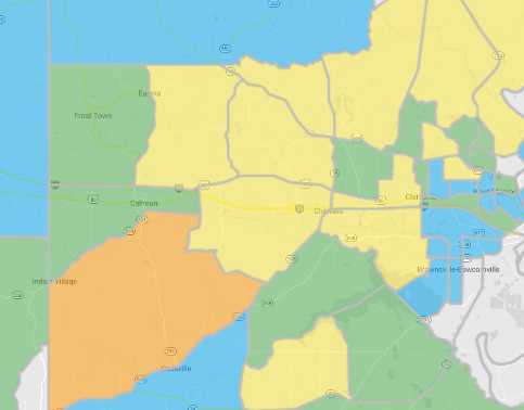
Using the map, you can view the cumulative nationwide Pray-Care-Share progress of all of the Lights in America.

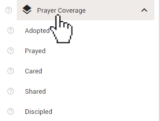
To enable these overlays, click the 'Prayer Coverage' heading in the 'Layers' section of the control panel. Doing so will expand the section revealing the 5 different layers that you can view.

Click one of the layers to activate it on the map.
Below are the definitions for each of the 5 types of overlays in the 'Prayer Coverage' Layer.
Activating any of the 'Prayer Coverage' layers will cause your map to be divided into sections. These sections will change depending on the current scale of your map. The current map scale can be found in the bottom-right corner of the map. At 1 mile/2 kilometers or less, the map will be divided into Census Block Groups. These are geographic divisions used in the census that typically contain between 600 and 3000 residents. At 2 miles/5 kilometers or more, the map will be divided into counties, parishes, and boroughs.
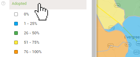
The sections of the map will be shaded a different color depending on the percentage of homes in that section that meet the criteria. View the legend in the control panel to decipher the information.
